Saturday, November 26, 2011

Trestles

There are remains of numerous trestles along the abandoned logging railroad lines in the Flagstaff area. Many are only 15' to 20' in length with some being considerably longer (approximately 400') and quite impressive. Most were constructed of a mix of stone and logs with some being constructed of almost entirely stone. The trestle in the photo below is on the Flagstaff Lumber Company line north of Mormon Mountain.


The Greenlaw Lumber Company lines located in the extensive cinder covered area east of Flagstaff used mounded up cinders instead of timbers and/or stones.


Stein (1993)  cites trestles located at Hardy Hill, Frenchy Canyon, and Volunteer Canyon as examples of trestles built to "monumental proportions".  After a bit of research and consulting others with knowledge of the local area, I was able to locate the Hardy Hill and Frenchy Canyon trestles on aerial imagery. The Volunteer Canyon trestle is located on Camp Navajo, an Arizona National Guard facility and pretty much off-limits. I was fortunate to have worked there at various times over the last year and a half and had coworkers that saw a large trestle while doing fieldwork. Unfortunately I was never able to visit it. I was able to locate it on Google Earth.


Hardy Hill Trestle
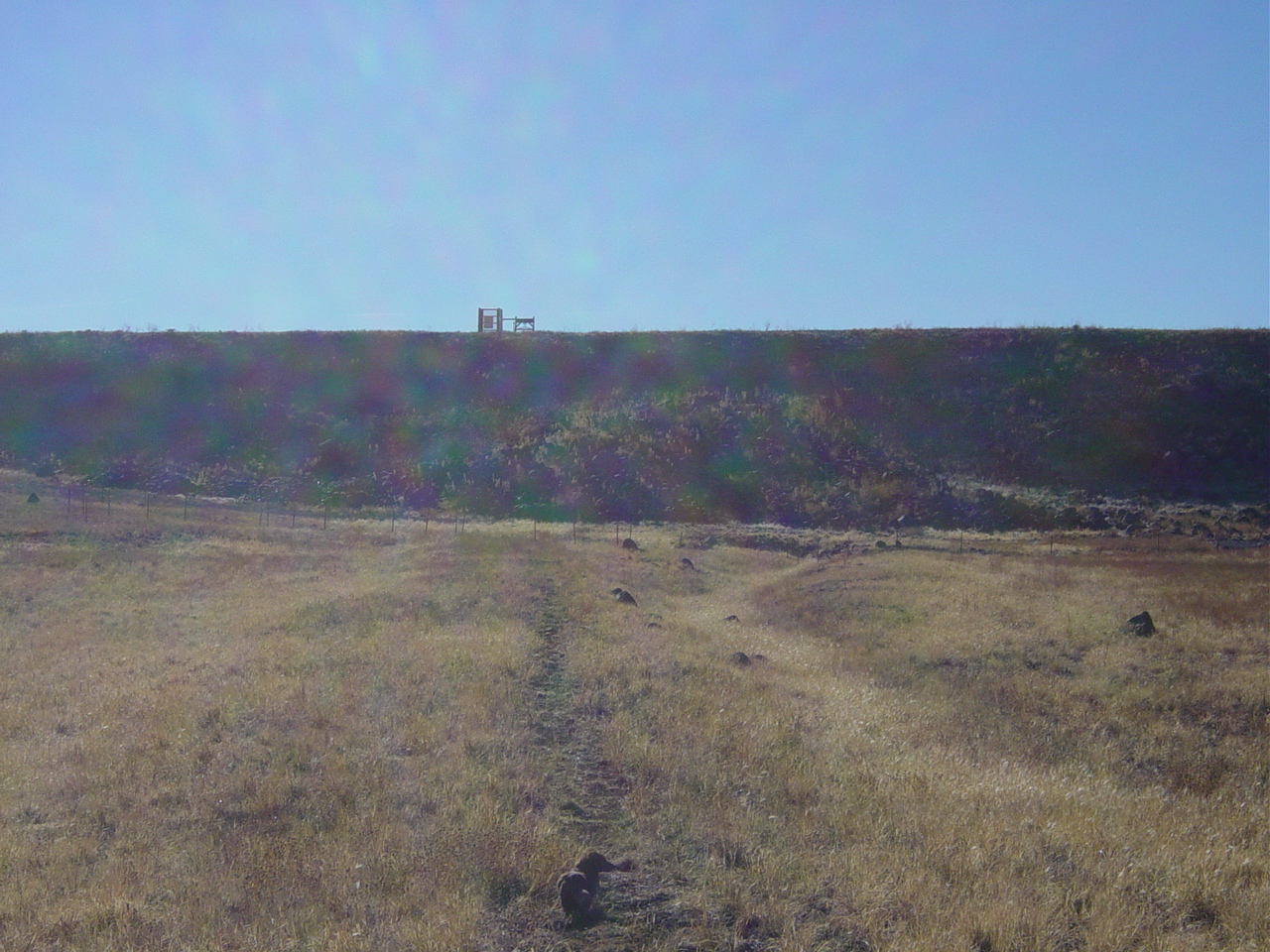
This trestle dates from 1901 and is located on a spur of what was the Saginaw-Manistee Lumber Company Bellemont line. It is located in the bottom of a very narrow drainage.  The photo below shows the beginning of the drainage.  The trestle begins just out of sight down the draw.


The total length is roughly 340'. Some of the logs are nearly 2' in diameter. Overall, it is a very impressive structure.


Here is a Google Earth screen capture.


Here is a picture of the grade as it continues to the west and exits the drainage.


The grade eventually enters an open area where cabin remains and the ruins of a concrete building are located.  I suspect this was one of the numerous logging camps operated by the Saginaw-Manistee company. (UPDATE: I was told in 2019 by a Kaibab National Forest archaeologist that these ruins are not associated with the rail line. Through my research on homesteads in the area that I began in 2023, I found that this is the Thomas H. Moss homestead ).


Frenchy Canyon Trestle
After reading of this trestle, I decided to check out aerial imagery and and was able to quickly locate it. I had previously spent some time in the area mapping an abandoned grade.  The trestle is located on that same grade and is located less than 1/2 mile from where I had ended my mapping.  The line was constructed in 1894 and began at the Atlantic and Pacific line.  There is apparently some confusion as to whether the A & P or the Saginaw-Manistee Lumber Company constructed and operated the line (Stein 1993).  It ran south to just  a couple miles north of what is now White Horse Lake.

Forest Service roads lead right to the trestle.  It is located in a much wider drainage than the Hardy Hill trestle.  Unfortunately the log structures have been mostly washed away.  This draw obviously carries a considerable amount of water during the summer monsoon season and during periods of snow melt.  Total length of the structure is approximately 115'.  The picture below is off the north end of the trestle.  Note that very little of the log structure that crossed the drainage is still in place.


Large iron rods were used to secure the logs.


This section of line running through a notch in a basalt ridge is just north of the trestle.


The boles from these nearby high-cut stumps may have been used in the construction of the trestle.


These next few photos are of the line south of the trestle.  The trees around portions of the line where ties still exist have been thinned to reduce the chance of the ties burning in a wildfire.


Here is a Google Earth screen capture showing the remains of the trestle.


Volunteer Canyon Trestle

I've not actually visited this trestle but I did some work near it this past summer and was able to map a couple short sections of abandoned grade.  I had a couple of coworkers that came across it and said it was quite impressive.  This trestle was constructed by the Saginaw-Manistee Lumber Company in the 1920s.  I have a photocopied picture of it but I don't recall where I got it so I don't want to post it.  The caption states that it was 32' high and 400' long.  Here is a Google Earth screen capture showing the trestle.  The down trees are from an October 2010 tornado that left a 30 mile long path of snapped and uprooted trees.  


Here is another Google image showing another trestle on the Camp Navajo facility.  It is approximately 90' long. Again, I've not been to this structure but mapped a section of abandoned line just a few hundred meters to the northwest.  


Saturday, November 19, 2011

Arizona Mineral Belt


The arrival of the Atlantic and Pacific Railroad in northern Arizona in the early 1880s opened the door for the movement of goods into and out of the region.  While the region was connected to the areas to the east and west, there was no rail connection to the south.  The Arizona Mineral Belt Railroad (AMB) was proposed by Colonel James Eddy in 1881.  The line originally was planned to begin in Winslow but later Flagstaff was chosen as its start point.  It was envisioned that the line would connect with the copper mining town of Globe.  At this point, Globe was not connected to either the Atlantic and Pacific or the Southern Pacific.  Some even felt that the line would eventually go as far south as Guaymas, Mexico and north to the Utah Central RR which would create a continuous line from Mexico to the Pacific Northwest (Trennert 1970). 

Eddy was eventually able to get the Atlantic and Pacific to commit to financing the initial construction of the line.  A large concern for Eddy was the question of how to deal with the construction of the line down the Mogollon Rim.  It was decided that a tunnel would be bored through the Rim.  Work on the tunnel began in 1883 prior to any grading being done. The funds committed by the Atlantic and Pacific ran out after 70’ of the planned 3100’ tunnel had been completed (Trennert 1970). 

No further work was done until 1887 when the Atlantic and Pacific once again committed more funding for the project.  Approximately thirty-five miles of line were completed to the Mormon Mountain area.  The funding was abruptly cut-off  once it was discovered that Eddy had sold $100,000 in AMB stock to a Chicago businessman (Schuppert 1993). There were newspaper (Beatty 1956) references as late as December 1887 stating that work would resume but it never came about. 

The 1895 map below shows the AMB heading south from Flagstaff  and ending at Fulton. Trennert (1970) states that a "railroad station for passenger and freight traffic" was established about ten miles south of Mormon Lake at the "crossing of the Winslow and Fort Verde Road".  This would be roughly where Fulton is shown on the map. Schuppert (1993) as being just south of Mormon Mountain and being little more than a wooden cabin.  Email correspondence from a local historian with longtime family ties to the area suggests one may not have existed


The Arizona Mineral Belt Railroad - Current Day

There is a very short section of abandoned grade that can be seen directly across the street from the Circle K on Lake Mary Road.  It is just behind the bus stop.  New development has obscured or removed all evidence of the line for a short stretch but the grade can be found in the drainage between the apartment complex and the fire station on the west side of Lake Mary Road.  It again is lost at the soccer field on South Wild West Trail in the Ponderosa Trails subdivision but it reappears shortly after and is adjacent to the paved walking/biking path leading west from the soccer field.  It soon turns to the southwest.  At this point it is a very noticeable large berm although it doesn’t stand out too well on this aerial image.


This next photo is this berm from the bike-path visible on the Google Earth image above.


Short portions of the line can be seen passing through yards along West High Country Trail.  It is visible in these next two photos.


The line continues from just west of the dead-end of West High Country Trail and goes down toward Pulliam Airport.  The next photo show this section of the line.


It is a bit difficult to see but, on the above photo, the main AMB line is to the left and another line is forking off to the right.  Here is another photo showing this right fork.  This line quickly enters the off-limits airport property so it can't be followed much past this point.  I've not seen this line shown on any maps so I'm not positive where it goes.  I've heard some speculation that it heads down to the large east-west trending draw that is north of  Mountainaire and ends near Lower Lake Mary and was used for the construction of the original dam.


The line from southwest of the airport to the north end of Lower Lake Mary is fairly easy to locate and follow. It heads southeast from the airport before it veers south and then back to the southeast.  The road beginning near the upper left corner and continuing to the lower right corner is the line.  It is now a dirt road but doesn’t receive much use as it pretty much dead-ends at the airport (when heading in a north-westerly direction).  It makes the southerly turn near the well-defined dirt road in the lower right corner of the image.


Just prior to Forest Service Road 132 the line makes a sweeping turn to the east-northeast.  It can be seen, in the center of the next image.


This portion of the grade is on private land.  This is visible on the center right portion of the of the image below. The dashed red line shows the location of the grade.


The line is adjacent to Forest Road 132 as it heads northeast and enters what is now Lower Lake Mary.  During dry periods the grade can be followed down the middle of the lake bed.  Water has somewhat leveled the line in places and these sections are usually most easily defined by subtle differences in vegetation.  The line, along with two wyes, is visible on these subsets from a 2007 black and white U.S.G.S. digital ortho quarter quad. Depending on the vegetation conditions, the grade and the wyes can be easily seen or may be harder to make out. It really depends on the color, density and height of the vegetation, which of course is constantly changing. There is an old buried water line in this area which can be confused with the grade. 


You'll soon come to a pipe, water box cover or some other waterline related object if you mistakenly follow a buried waterline instead of the grade.


The image below shows the grade heading south down the dry bed of Lower Lake Mary. The grass on the grade is denser than the grass cover directly adjacent. This is slightly elevated, but not by much. The action of  water over the past nearly 120 years has caused the grade to spread out.


The darker vegetation is on the top of the grade.


Rail connector that has spent a lot of time submerged.


The lighter colored vegetation is on the grade.


The grade approaching the Upper Lake Mary dam.

The grade continues down Lower Lake Mary but becomes difficult to see near the dam on Upper Lake Mary.  In 2008-9, the southern third or so of Upper Lake Mary was almost completely dry.  The AMB grade really stood out.  There are some substantial concrete abutments on a few of the places where the line crosses small drainages.  Below is a 2007 aerial photo that shows a portion of the grade becoming visible as the water level in the lake went down.  The AMB line continues to the southeast while the Flagstaff Lumber Company line can be seen, in the lower right corner, heading roughly south. This latter grade can be seen from Lake Mary Road. More information on this line can be found here: https://arizonarailsruinstrails.blogspot.com/2016/12/flagstaff-lumber-manufactoring.html


Much of the route of the original AMB can be followed to the area between Upper Lake Mary and Mormon Lake. There are several maps showing the line in the Mormon Lake area. One map shows it on the east side of Mormon Lake, another map shows it on the west side of Mormon Lake just east of Mormon Mountain and ending down in Fulton Canyon, and a third map showing it ending in the general location shown on the image below.  This location, in UTM Zone 12, NAD 83 is 457195, 3873730.  


Friday, November 18, 2011

Strategies for locating abandoned railroad grades

Aerial photos and high resolution imagery are invaluable tools for finding abandoned railroad grades. After identifying potential grades on imagery and then confirming it by ground-truthing, you’ll be able to locate new grades to explore. On the two examples below, the grades stand out due to their wide sweeping turns.

Click on photo to enlarge


Grade and wyes visible in the open area in the center of each image. Click to enlarge.


It is also possible to identify lines using 1:24,000 U.S.G.S. topographic maps. Many of the local Forest Service roads were constructed on top of abandoned logging railroad grades. Again, the wide sweeping curves of roads constructed along abandoned grades really stand out on maps.