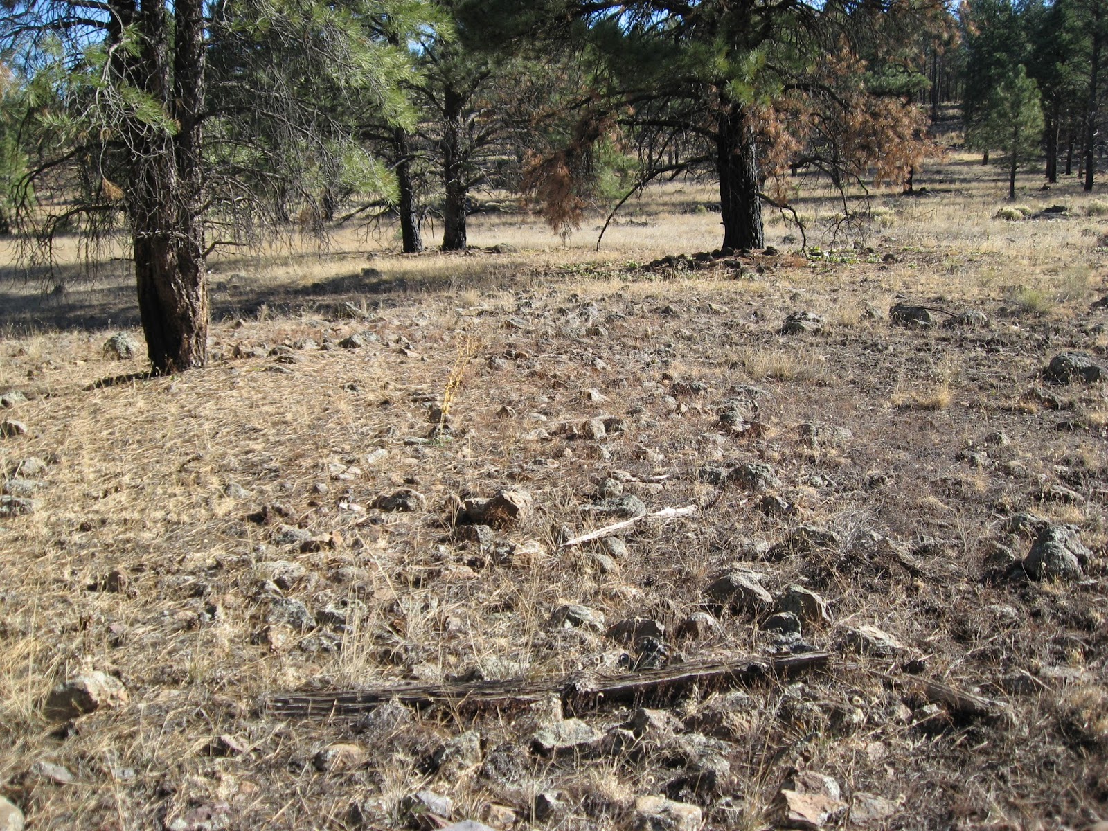
The Saginaw Lumber Company came into the Flagstaff/Williams area in 1893 when they constructed two mills; one in Williams and and the other adjacent to the Chalender siding along the Atlantic and Pacific line. Today, bits of glass, cans, scraps of wood and metal, rock piles and short sections of railroad grade are evidence of the Chalender mill site. The picture below shows a piece of rail that was driven into the ground. The words "ILLINOIS STEEL CO JOLIET WORKS 1890" are on the side of the rail. There are two such rails at the site. I believe these were used to prevent rail cars from running off the end of the tracks that served the mill. The Illinois Steel Company property in Joliet Illinois is now a
historic site.
 |
| Chalender mill site. |
 |
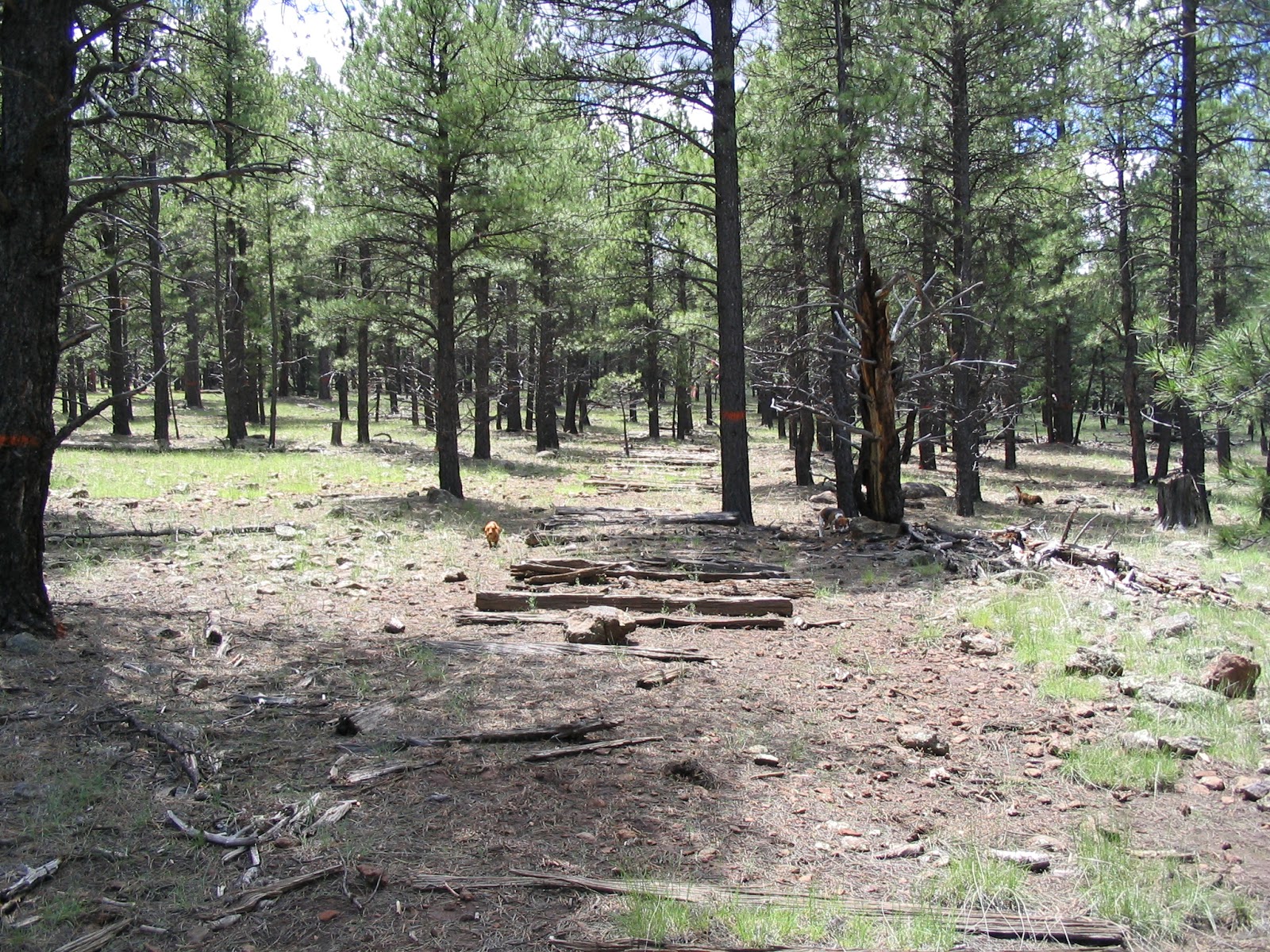
| Faint rail line at mill site. |
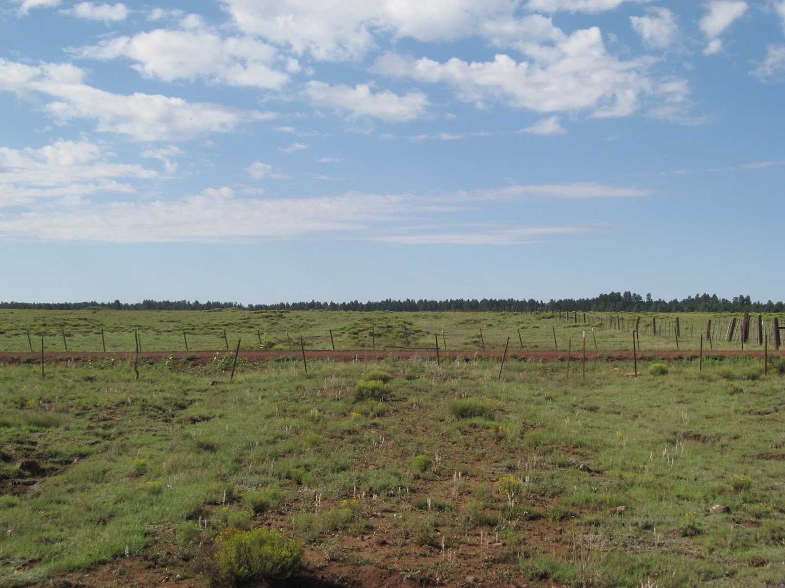
The first railroad line was constructed south from the Chalender siding on the Atlantic and Pacific mainline (Glover 1983). The Chalender siding is still a marked siding on the Burlington Northern Santa Fe line that can be accessed from the Deer Farm exit on I-40. Both Glover and Stein (1993) report that it isn't clear whether Saginaw or the Atlantic and Pacific Railroad constructed and operated this line but Glover believes that it likely was Saginaw. He states that this line may have been ten miles in length. I've walked 5.1 miles of this line but ran into a chunk of private land that prevented me of continuing. A priority next spring is to locate the line on the far side of the private land and continue mapping it. The northern end of the line is somewhat difficult to find but it can be easily followed from Mineral Lake where the grade is at the west edge of the lake.
 |
| Grade south of the Chalender siding with Mineral Lake to the right. View is to the north. |


Chalender line (1924-1928)
This line started at the Sante Fe line (the former A&P line) approximately 1.5 miles east of Chalender. The wye is clearly visible on Google Earth. Glover (1983) states that the line had a total length of about 12 miles. I've walked this line for a total of 17.3 miles and there are a few other spurs that I've not completed mapping. I'm not sure where Glover got his mileage estimate. Overall, this line is is well defined and quite easy to follow. I've had some difficulty just east of Scholz Lake but I really haven't spent much time there. The above map shows a section that I still need to map. Some of this unmapped section is either on or very close to private land and may not be possible to access. The grade southeast of Scholz is easy to locate and follow all the way south-southeast to Forest Road (FR) 141. It is fairly evident where 141 crosses it but it wouldn't be too difficult to miss unless one is looking for it. At the southwest corner of Garland Prairie, the grade forks; I've followed the west fork to the south of KA Hill to a point just east of FR 109 and roughly a mile north of Pomeroy Tanks. The eastern fork angles to the southeast, closely following FR 131A and meets up with FR 527 and continues along to the vicinity of FR 530.


 |
The grade just southeast of Scholz Lake.
|

 |
| Looking north. |
 |
| Chalender line crossing Forest Service Rd 141 on the west edge of Garland Prairie. |
 |
| This section of FR 131A was constructed on top of the grade. |
 |
| This section is due west of the above photo. |


No comments:
Post a Comment